
Kyōto Trail
The Kyōto Trail is an 80 km hiking route around the hilly borders of Kyōto city.
The Kyōto Trail is a hiking route around the hilly borders of Kyōto city, spanning approximately 80 kilometres across the Higashiyama, Kitayama, and Nishiyama mountain ranges. Most people associate Kyōto with streets laid out in a grid lined with townhouses, shops, and temples. But this perimeter path snakes through the secondary forests and granite outcrops that define the local geography, revealing another, lesser-known Kyōto.
The route is maintained by a local volunteer collective and is divided into numbered posts that act as wayfinding markers. It doesn’t follow a singular, ancient pilgrimage path but rather connects various forestry tracks, temple boundaries, and residential shortcuts into a continuous circuit. The terrain changes frequently, shifting from damp, moss-covered cedar plantations in the north to dry, scrub-filled ridges in the east.
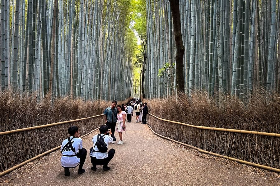
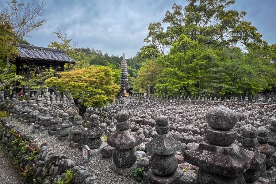
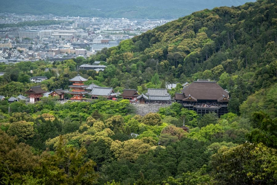
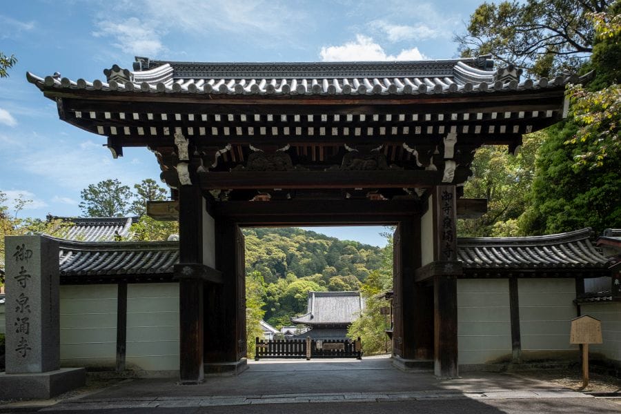
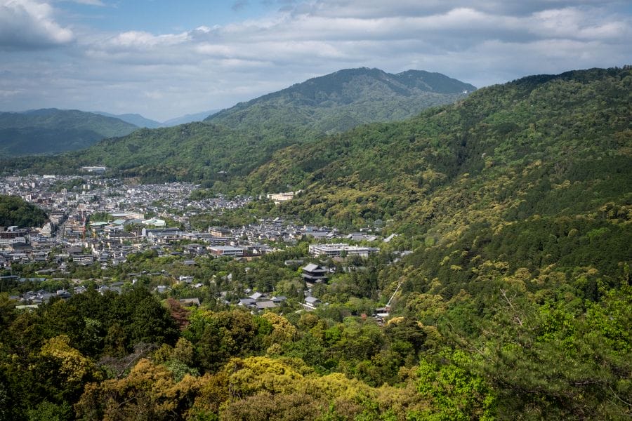
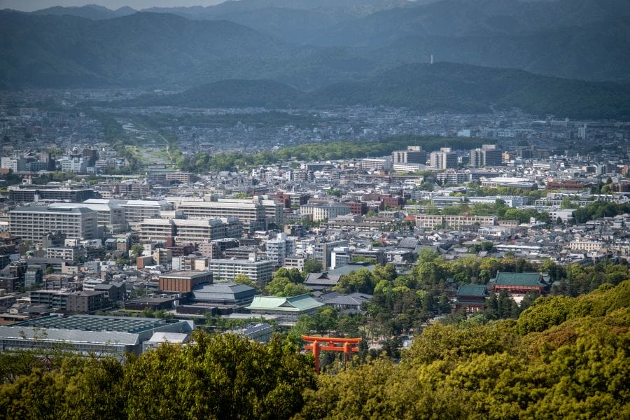
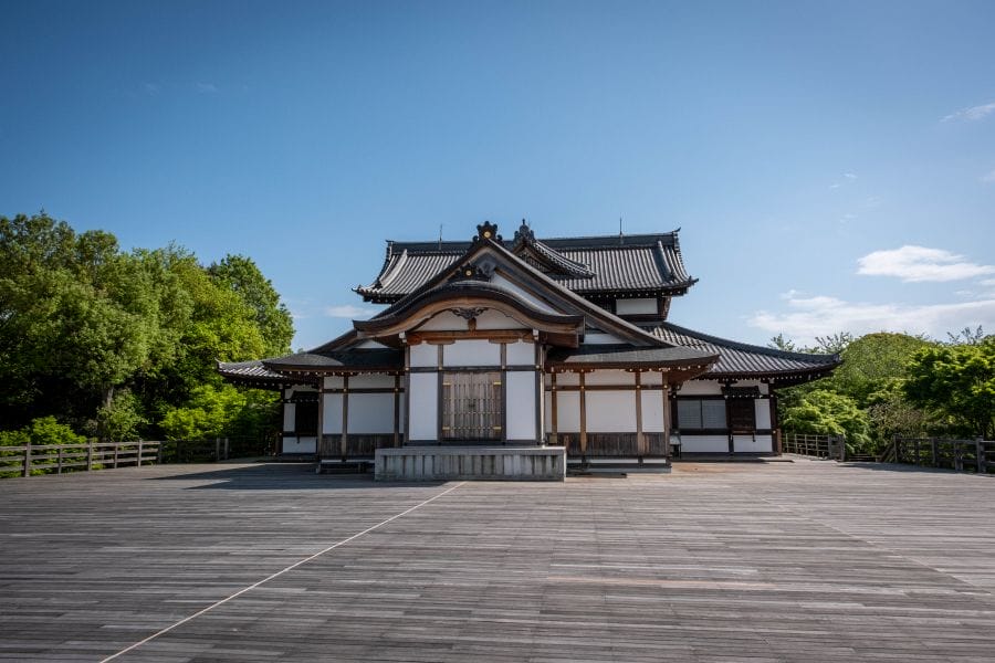
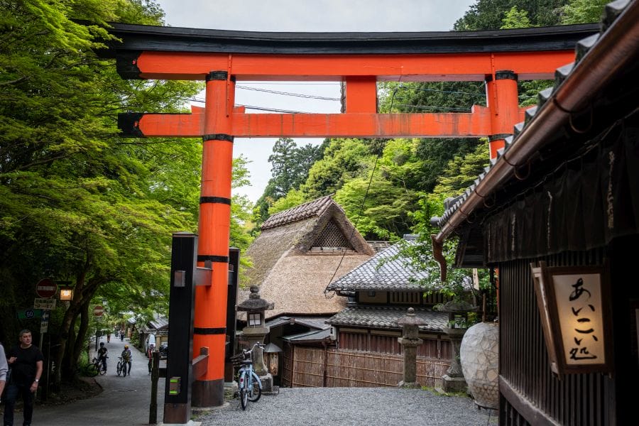
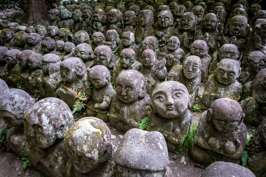
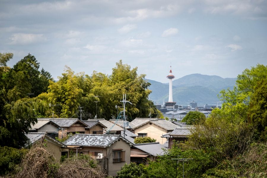
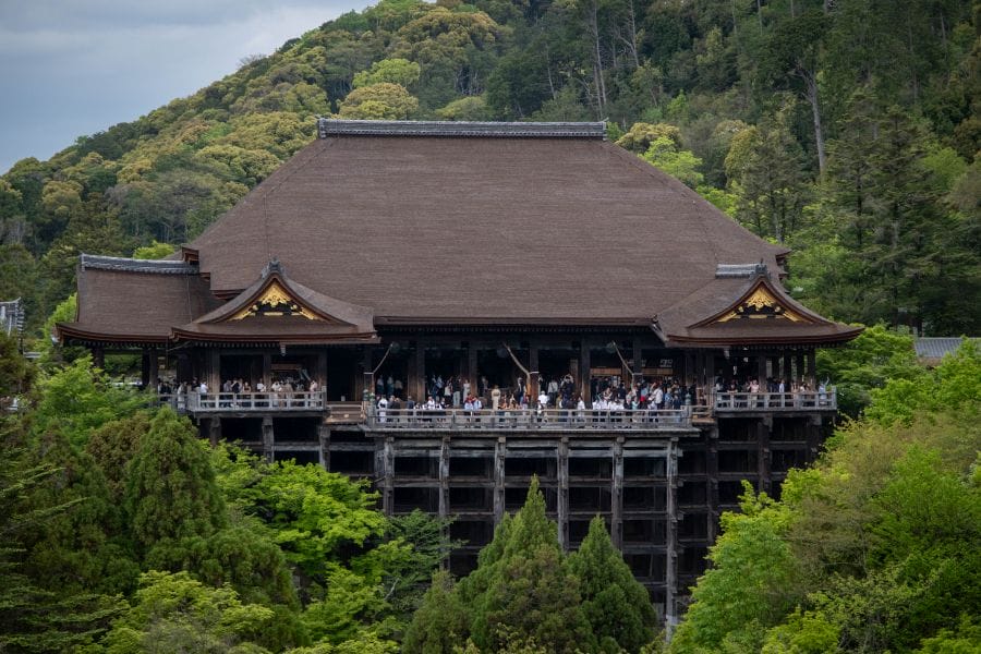
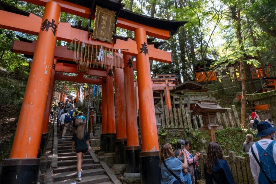
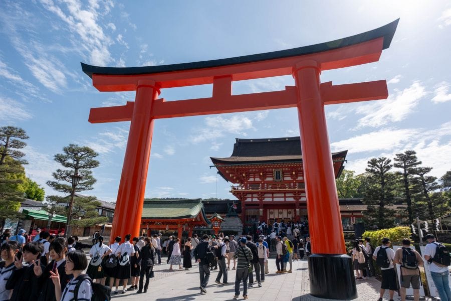
In the Higashiyama section, the trail ascends behind Fushimi Inari Taisha. You can choose to walk up through the tunnels of red torii gates with the flood of humanity, or you can bypass all of that by taking another route. The charm of the trail is that you can experience the crowded fleshpots — they’re crowded because they’re fascinating — but you can peel off on a quiet track whenever you feel like it. On this section, the geology is characterised by weathered granite, which historically provided the sand used in Kyōto’s traditional stone gardens. You pass through areas where the soil is remarkably thin, supporting hardy pine trees and exposing the white bedrock. This eastern stretch includes the peak of Mount Hiei, which rises to 848 metres. While the mountain is synonymous with the sprawling Enryaku-ji monastic complex, the trail often sticks to the ridges where the air remains noticeably cooler and the vegetation consists of dense stands of Japanese cypress and maple.

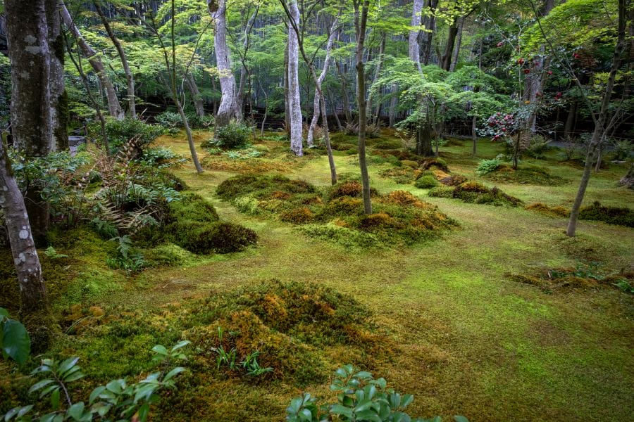
Moving into the Kitayama region, the path enters the city’s primary source of timber. The village of Kumogahata and the surrounding valleys are the origin of Kitayama-sugi, a specific variety of Japanese cedar known for its perfectly straight, knot-free trunks. You’ll see trees that have been pruned and managed for centuries to produce the polished logs used in traditional tea room architecture. The light in these plantations is distinctive. The high canopy allows thin, vertical shafts of sun to reach the forest floor, which is often clear of undergrowth due to the density of the cedar needles. This area feels more isolated than the eastern slopes, as the trail navigates steep valleys and crosses small, fast-running streams that feed into the Kamo River.
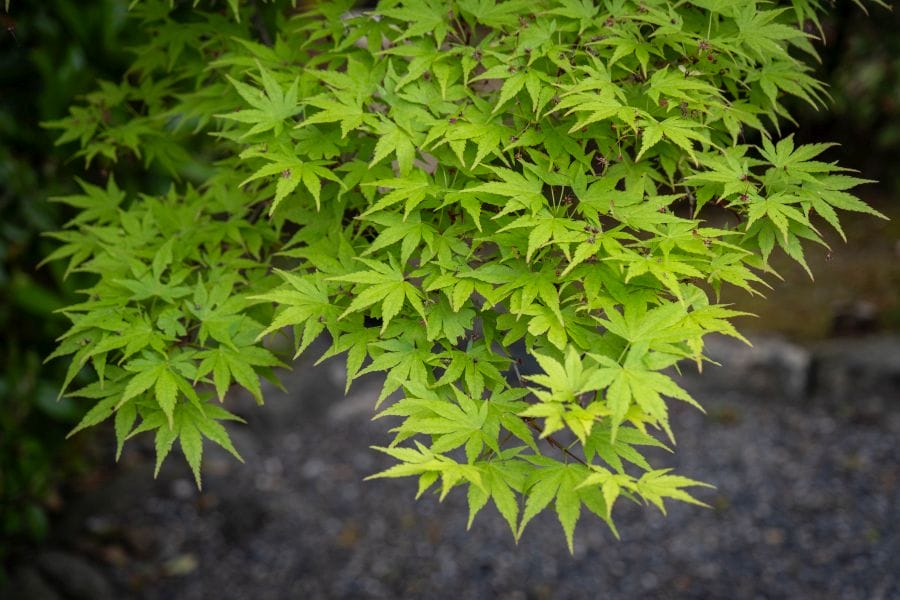
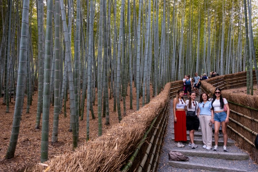
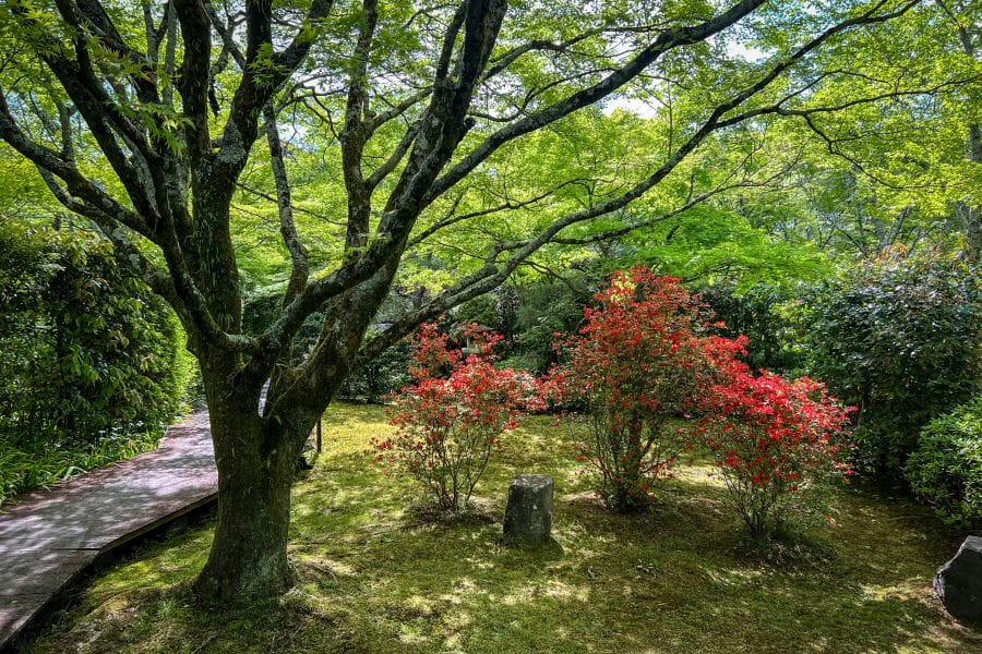
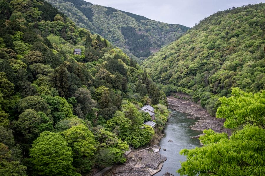
The Nishiyama or western portion of the trail descends toward Arashiyama and the Hozu River. Unlike the managed forests of the north, this area features broader stretches of deciduous woodland. In the vicinity of Mount Arashi, the trail follows ridges that offer clear sightlines over the river’s gorge. The rock here is primarily sedimentary, quite different from the granite found in Higashiyama, which affects the types of ferns and wildflowers that grow along the path’s edge. During the late autumn, the change in temperature between the river valley and the heights often creates a thick morning mist that settles in the depressions of the trail until midday.
The Keihoku section is often overlooked. It lies further out to the north in a rural area that was once separate from Kyōto city. This route is marked by traditional satoyama landscapes — managed countryside with scattered hamlets and farmland —offering a sense of isolation rare so close to a major city. It requires more planning to reach, but the completely different atmosphere is rewarding.


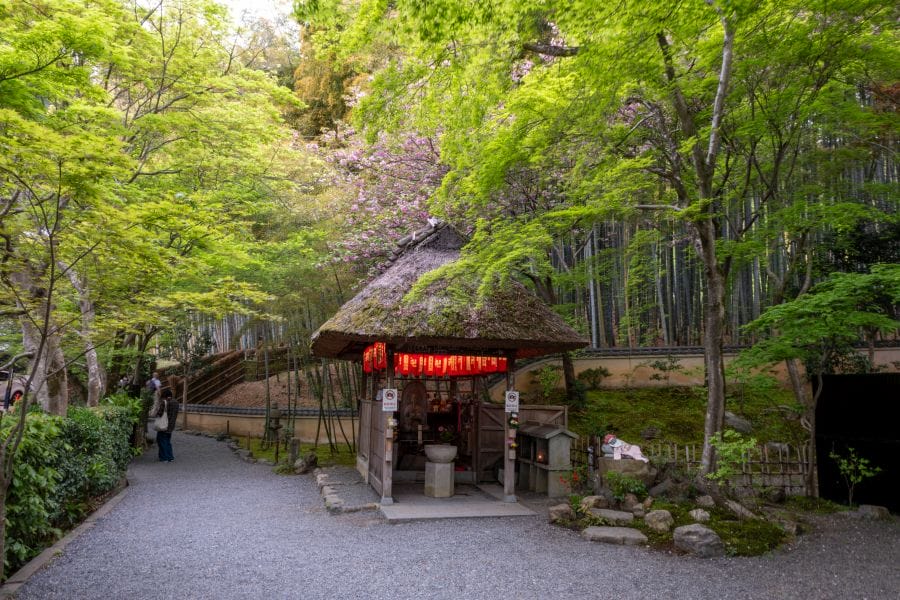
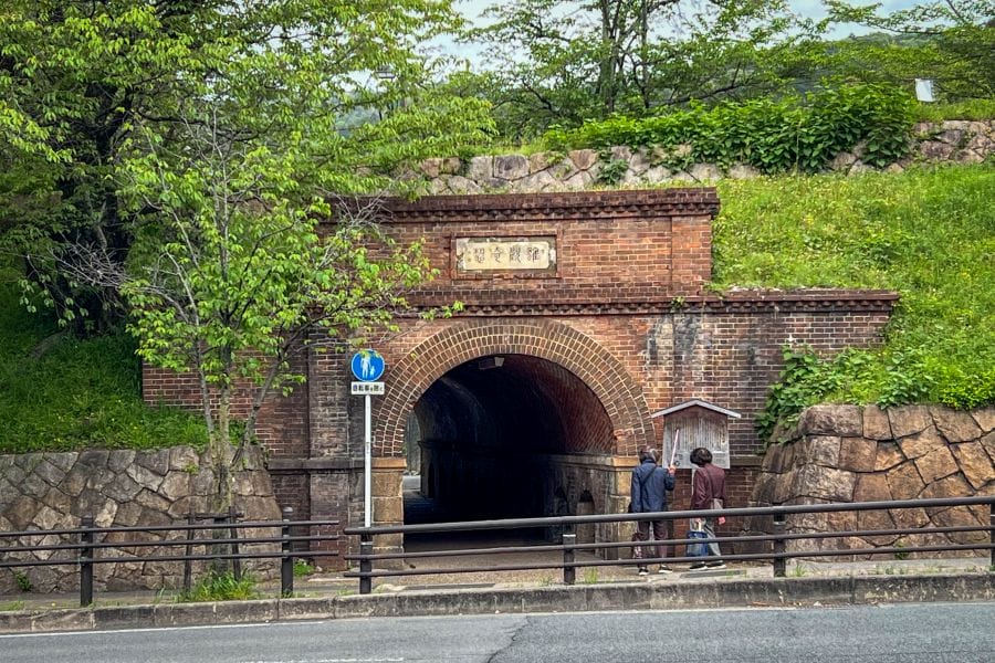
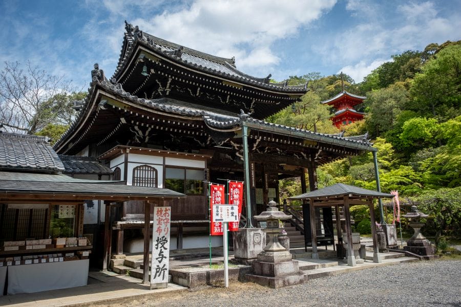
The trail isn’t a wilderness experience by any means. Rather it’s a study of how the city meets the mountains. You frequently encounter the physical infrastructure of water management, such as the Lake Biwa Canal, a late 19th-century engineering project that still transports water through a series of tunnels and brick aqueducts. The path crosses these Victorian-style brick structures, which have weathered to a dark ochre and are now covered in climbing ivy. In other sections, the trail runs alongside the stone walls of private estates or the rear boundaries of small vegetable plots where locals grow seasonal greens. These transition zones show the functional reality of Kyōto’s borders, where the urban environment is held back by the steepness of the terrain. It’s easy enough to drop down from the trail to visit a particular temple or museum, then resume your hike.
Logistics on the Kyōto Trail are defined by the city’s transport network. You can access almost any segment by taking a bus or train to the edge of the mountains and walking back toward another station. This allows the 80-kilometre loop to be broken into manageable day-long sections. Because the trail stays below 1,000 metres, it remains accessible throughout most of the year, though snow often accumulates on the northern slopes of Kitayama during January and February.
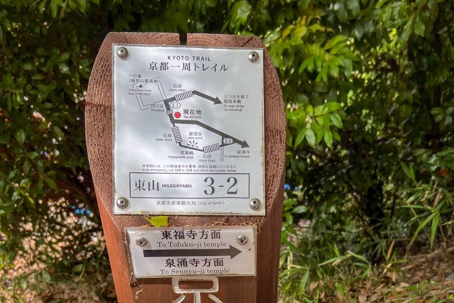
The signage isn’t entirely consistent. In the mountain sections, there are numbered marker posts at every crossroads with a little map towards the next one. These markers ensure you stay on the designated path, which is essential given the maze of unmarked logging tracks that criss-cross the hills. But in the suburban sections where posts are impractical, the signage becomes erratic and eccentric. This is where some expert help comes in handy.
Let us know if you’d like to discover another Kyōto, and we’ll help you plan your route and accommodation. Japan Adventurer owns a traditional Japanese townhouse in the centre of Kyōto, ideal for exploring the Kyōto Trail.