Mt. Narabara
Mt. Narabara is a mountain in Imabari with a height of 1,041 m. Located in the centre of the Takanawa Range, it stands between the Sōja River and its branch, the Kiji River. The top of the mountain comes to a distinctive triangular point.
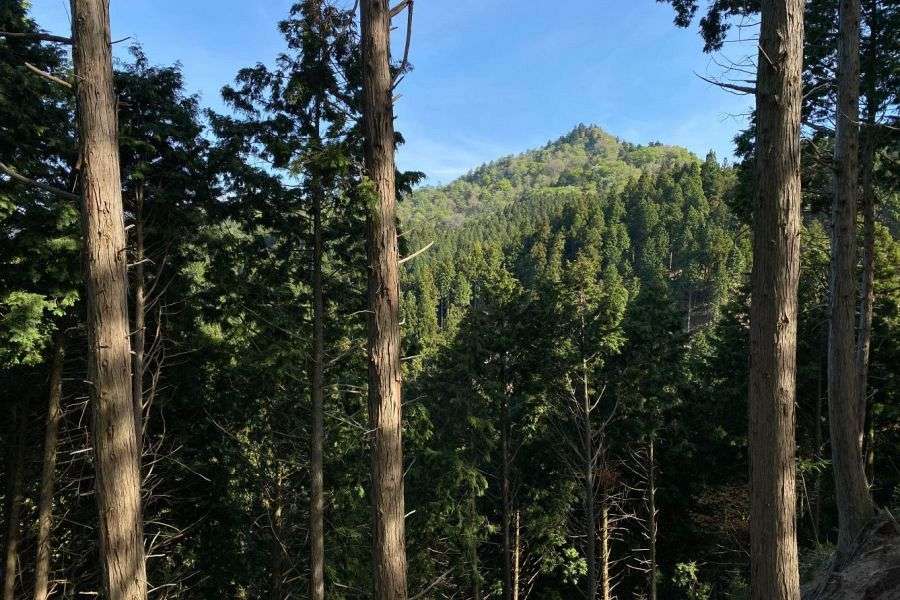
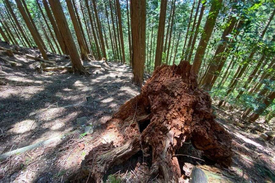
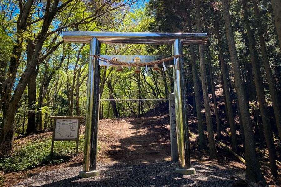
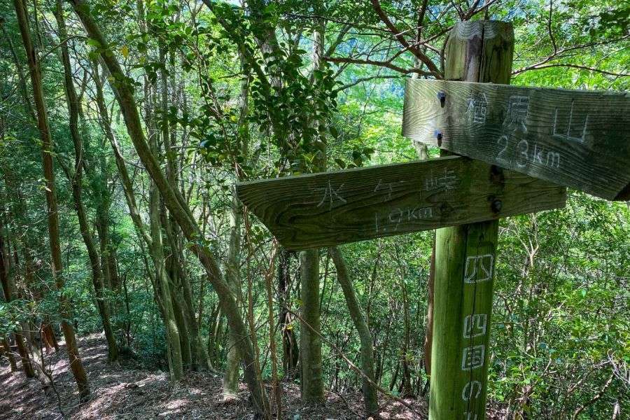
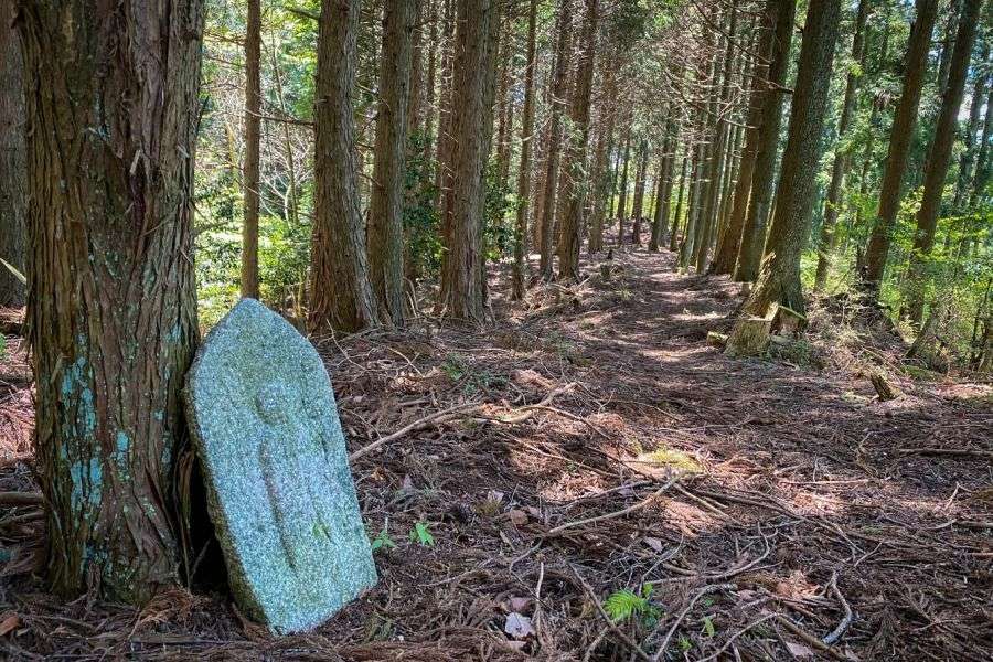
The mountain is on the Shikoku no Michi hiking trail, which traverses the peak from west to east. At the start of the walk is a beautiful clear river flowing down a pretty valley. The path is well marked with regular signposts, and there are steps on the many steep sections of the route, making it easy to walk. The mountain is covered with plantations of Japanese cedar which stand many tens of metres high. The foliage starts way above your head, and the forest floor is carpeted with soft cedar fronds.
Mt. Narabara is home to many kinds of birds. Around the peak, which is covered with mixed woodland, the loud tapping of woodpeckers is a special treat.
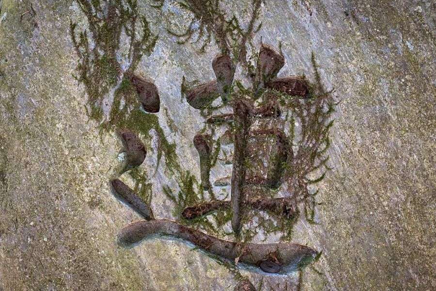
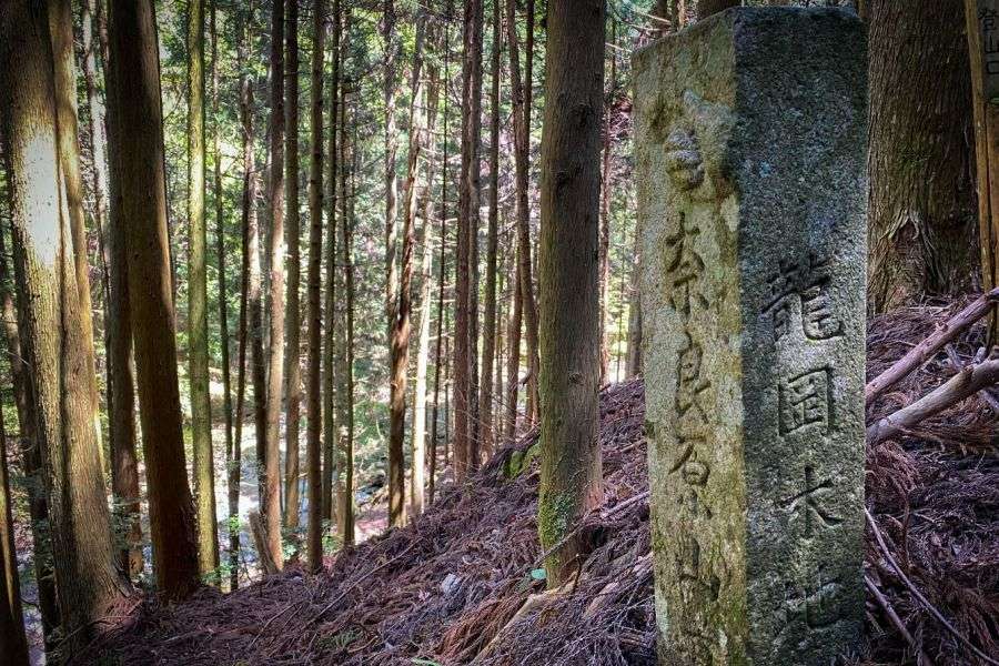
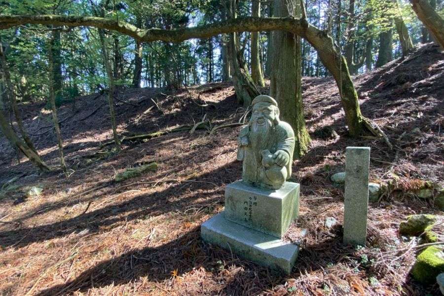
At the top of the mountain is the site of Narabara Shrine, which was built 1,300 years ago. At the side of the approach road, there’s a stone monument marking the site of Renge-ji Temple. In 1934, a copper pagoda and another container were excavated from the highest point in the precincts of Narabara Shrine. They were filled with sutra scrolls. Fans buried with them are painted with people in the style of the Heian period. There were also several short swords and metal mirrors. These objects are kept in the Tamagawa Museum of Modern Art.
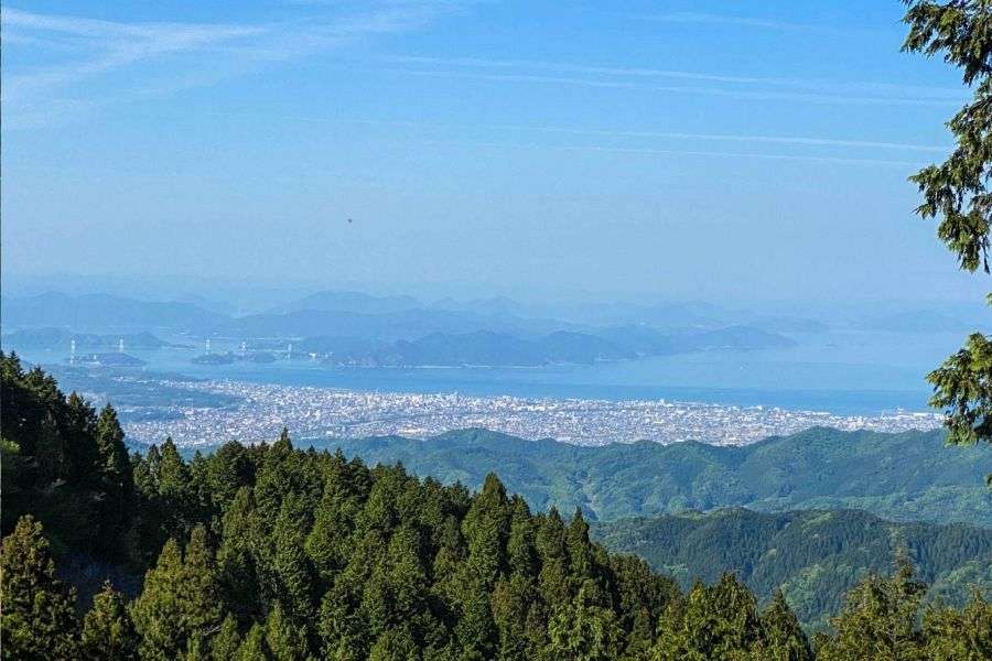
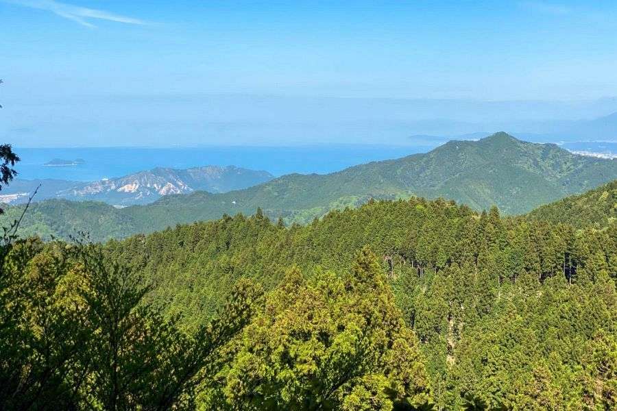
Just below the peak is a radio tower and if you walk up its base and look to the west, you can see the city of Imabari in the distance, with the Kurushima Straits Bridge and the islands of the Shimanami Kaido stretching across the Seto Inland Sea. You can also see Mt. Seta, another nice mountain for walking.
Information
Name in Japanese: 楢原山
Pronunciation: nara-bara-san
Address: Narabarasan, Tamagawacho Kiji, Imabari, Ehime 794-0122