Kamijima-chō
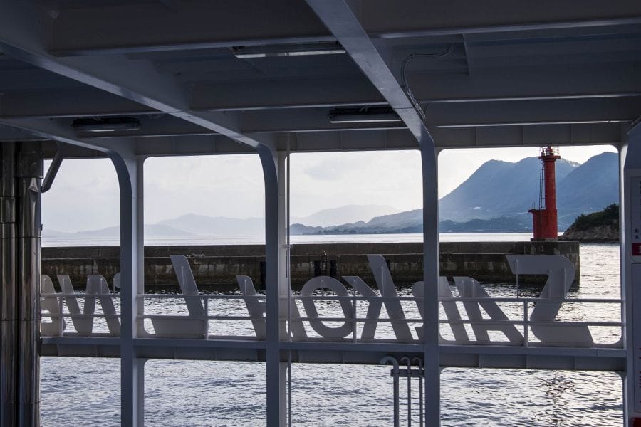
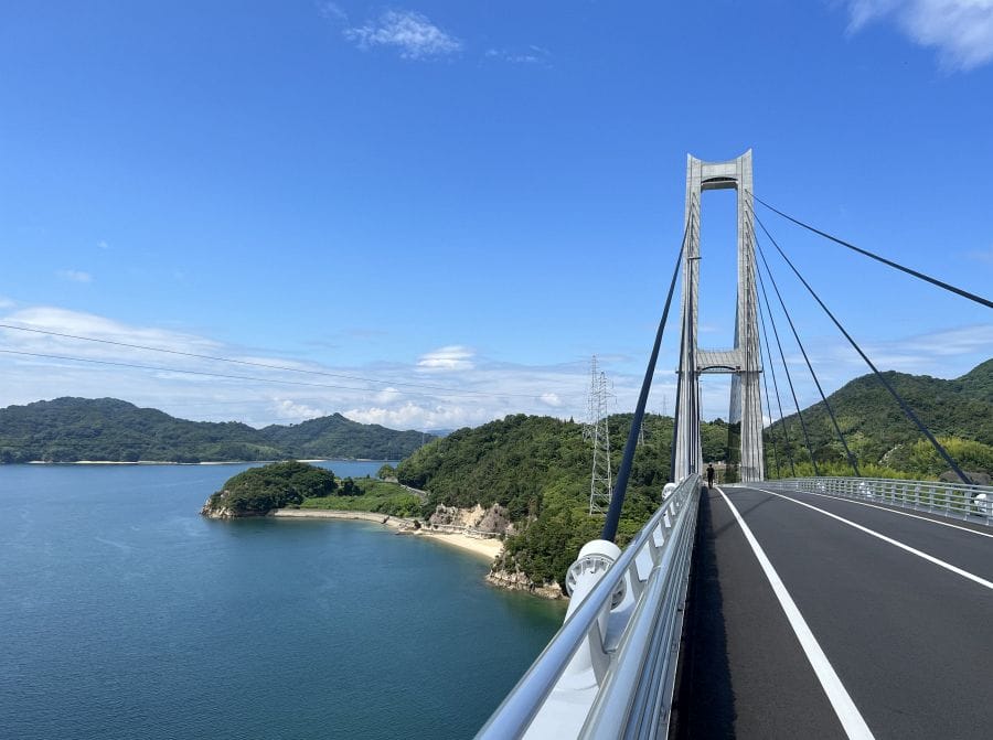
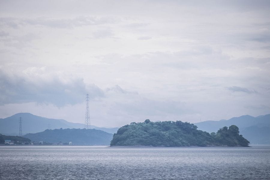
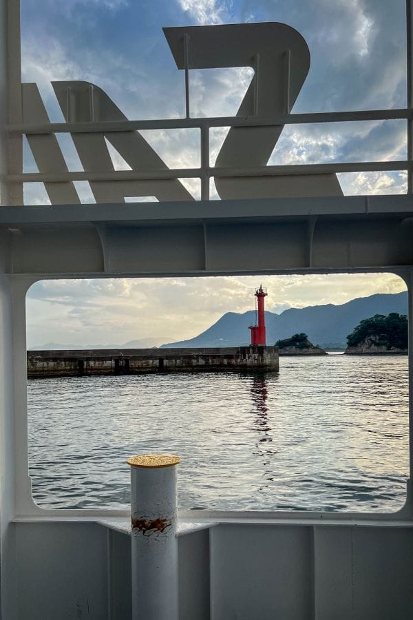
Kamijima-chō is a municipality comprising twenty-five islands in the middle of the Seto Inland Sea. Seven of the larger islands are inhabited. This town of islands lies equidistant between Honshū and Shikoku, but it belongs to Ehime in Shikoku. Kamijima is very close to the islands of the Shimanami Kaidō but isn’t joined by bridges. Instead, short ferry rides take you into these islands, four of which — Iwagi, Ikina, Sashima, and Yuge — are themselves interlinked with newly built bridges. The cycle route over these islands and bridges is called the Yumeshima Kaidō. Kamijima is linked by car and high-speed ferries directly to Honshū and Shikoku.
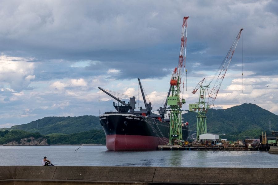
The municipality’s economy relies heavily on shipbuilding, commercial fishing, and citrus farming. You may also encounter hunters returning from the chase with a truckload of wild boar.
Yugeshima
Yugeshima serves as the municipal centre of Kamijima-chō. On the eastern coastline is Matsubara Beach, a two-kilometre stretch of white sand backed by about 3,000 pine trees. Here, a flat coastal road passes shipyards, a maritime school, and high sea walls. The island’s interior consists of steep, forested ridges that drop sharply to the water on the western side.
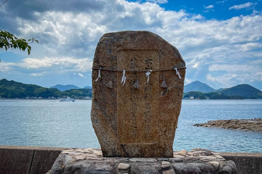
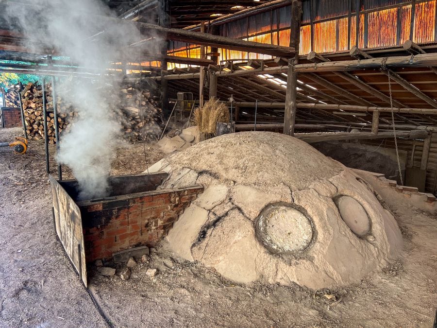
During the Heian and Kamakura periods (794–1333), Yugeshima was a private estate belonging to Tō-ji temple in Kyōto. The island’s residents paid their taxes in salt, boiling seawater using seaweed. You can see stone walls and wells from this period, and local producers still make salt using these traditional methods today.
Iwagijima
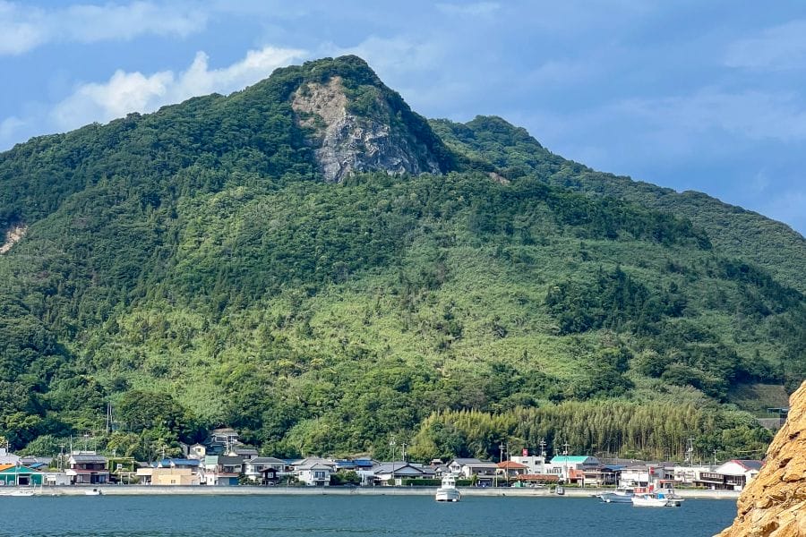
Iwagijima sits at the western edge of the island chain. In the centre of the island is Mt. Sekizen standing at 369 metres. The mountain’s slopes support 3,000 cherry trees, which bloom in a horizontal band around the middle of the peak. Agricultural terraces line the lower slopes, primarily dedicated to cultivating green lemons. Shipyards and industrial cranes occupy the northern waterfront, where flatbed trucks transporting massive steel ship components drive the narrow coastal roads.
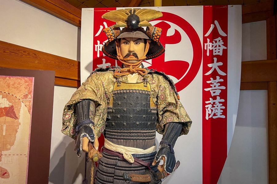
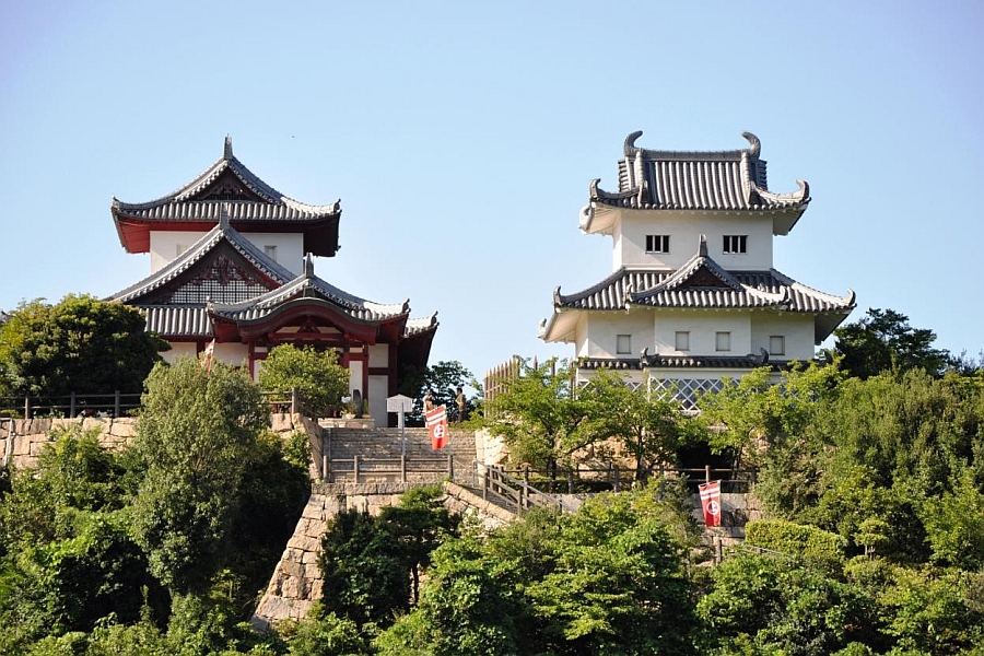
During the Muromachi period (1336–1573), the island was a major base for the Murakami naval forces. This clan controlled maritime traffic through the narrow Seto Inland Sea straits, exacting tolls from passing merchant ships and providing armed escorts. At the base of Mt. Sekizen is Shōun-ji, a temple holding maritime records and artefacts linked to these maritime clans.
Ikinajima
Ikinajima lies between Iwagijima and Sashima. The main feature of the island is Mount Tateishi, a peak at the north end of the island marked by large, exposed megaliths. A steep paved path takes you to one of these natural formations, known locally as the Frog Rock, which splits into two distinct boulders at its apex.
Archaeological excavations around the mountain have uncovered pottery from the Yayoi period (300 BCE–300 CE), indicating the site functioned as an ancient ritual space long before the establishment of modern shrines. The southern coast has expansive sports facilities, built on flat land reclaimed from Edo-period salt evaporation ponds.
Sashima
Sashima is a narrow island of less than three square kilometres, situated directly south of Yugeshima. The residential area is concentrated around the central harbour on the eastern coast, with forested hills making up the rest of the island. You can visit smoking charcoal kilns at the end of a mountain road. Narrow streets and alleys run between wooden houses with grey tiled roofs and traditional white plaster walls.
Sashima formerly operated as a port for the kitamaebune, large wooden cargo ships that traded along the Sea of Japan coast and through the inland sea during the Edo period (1603–1867). Merchant houses remain near the waterfront, bearing the architectural hallmarks of wealthy shipping families, including thick fireproof walls and elaborate tilework designed to protect their lucrative cargo.
Uoshima and Takaikamishima
Uoshima and Takaikamishima are remote islands situated 15 km east of the main Kamijima group. Uoshima is a dense fishing community built on steep, terraced slopes leading directly down to a single concrete harbour. Narrow staircases serve as the primary roads between houses. The island maintains a long history of commercial octopus and sea bream fishing, with ancient tomb mounds, or kofun, located on its higher ridges holding the remains of early maritime rulers.
Takaikamishima sits slightly to the west of Uoshima and consists of a single village clustered around a small bay. To deter wild boars and encourage settlement in a time of declining population, residents painted the sides of their concrete houses with large, manga-style murals. Both islands rely on a single, infrequent ferry connecting them to Yugeshima, keeping them geographically separate from the part of the municipality linked by bridges.


Information
Name in Japanese: 上島町
Pronunciation: kamee-jee-ma choh
Address: Kamijima, Ochi District, Ehime