Cycling Ikitsuki Island
The little island of Ikitsuki in Hirado makes a fascinating days’ ride.
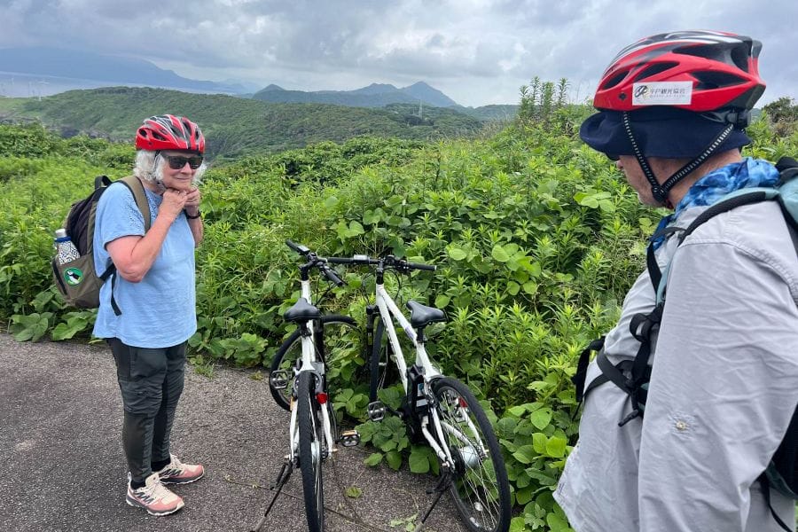
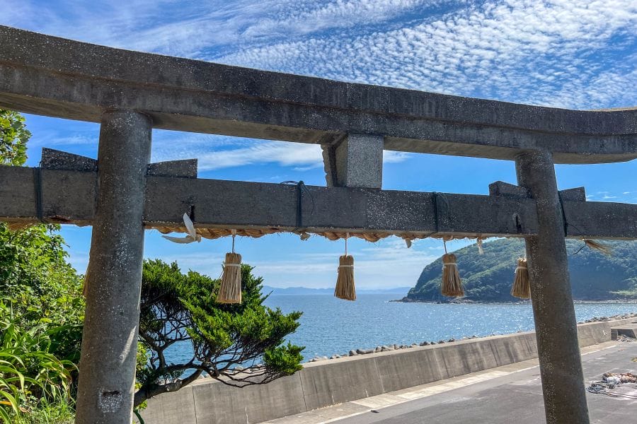
Ikitsuki is an island joined by bridge to the west of Hirado Island. You can arrange to have e-bikes delivered to the Road Station on Ikitsuki, which makes a convenient place to start and end your circumnavigation of the island.
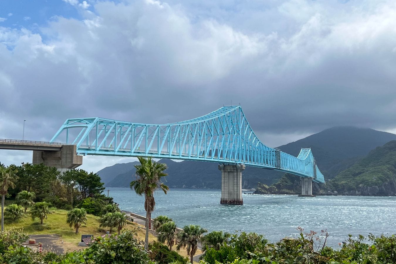
To get to Ikitsuki from the town of Hirado, you cross the beautiful sky-blue, steel truss bridge that spans the 400 m Tatsuno-Seto Strait. The Road Station nearly under the bridge has a large car park, ideal for a few turns to check saddle height and figure out the gears and electric assist. The bikes are just about big enough for someone up to 180 cm.
Crossing from Hirado to Ikitsuki immediately reveals the rugged, wind-scoured geography of this northern corner of Nagasaki. The tidal currents beneath the bridge run exceptionally fast, creating visible eddies in the dark green water.
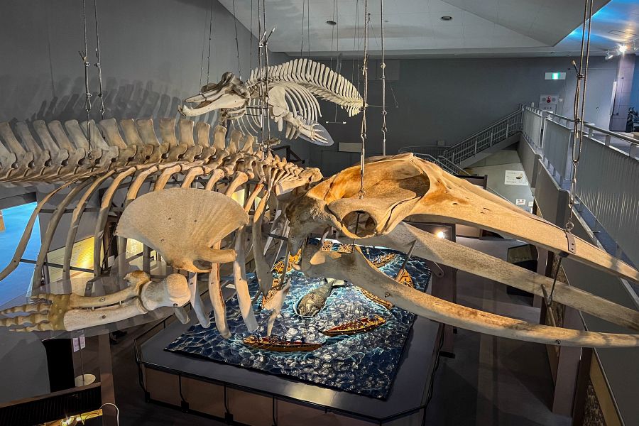
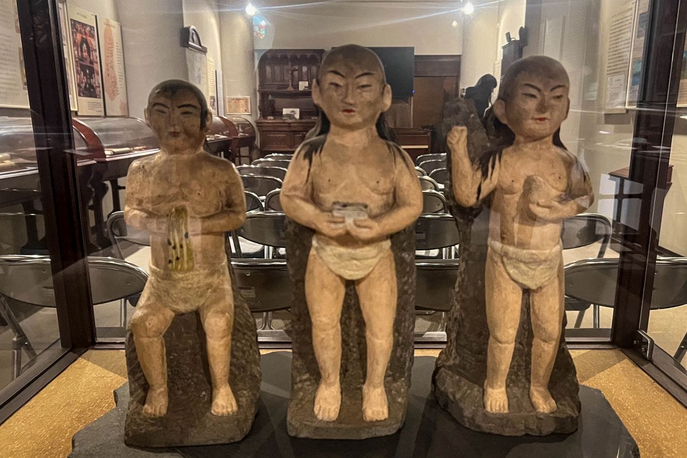
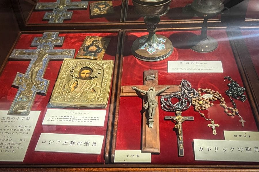
The route around the island takes you straight past the Ikitsuki-jima no Yakata Museum which documents traditional whaling on the island and the history of the Hidden Christians. Insights obtained from dropping in here will enhance your understanding of the day’s ride.
Because the island’s volcanic terrain rises sharply from the shoreline, navigating the steep coastal roads requires substantial effort. An electrically-assisted bicycle, or e-bike, manages these severe inclines, allowing you to maintain a steady pace against the prevailing offshore winds that sweep across the East China Sea.
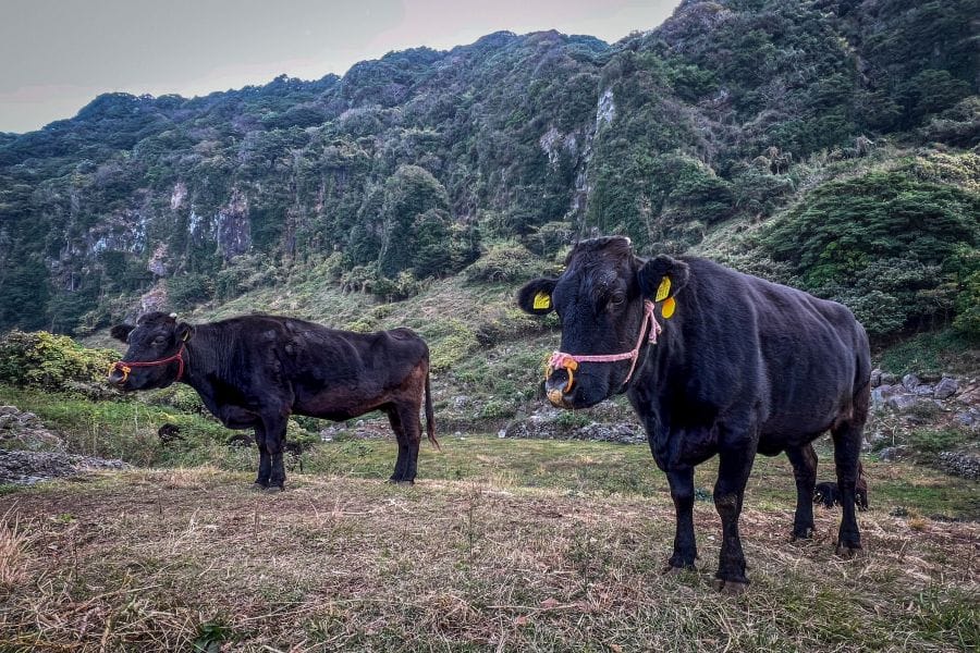
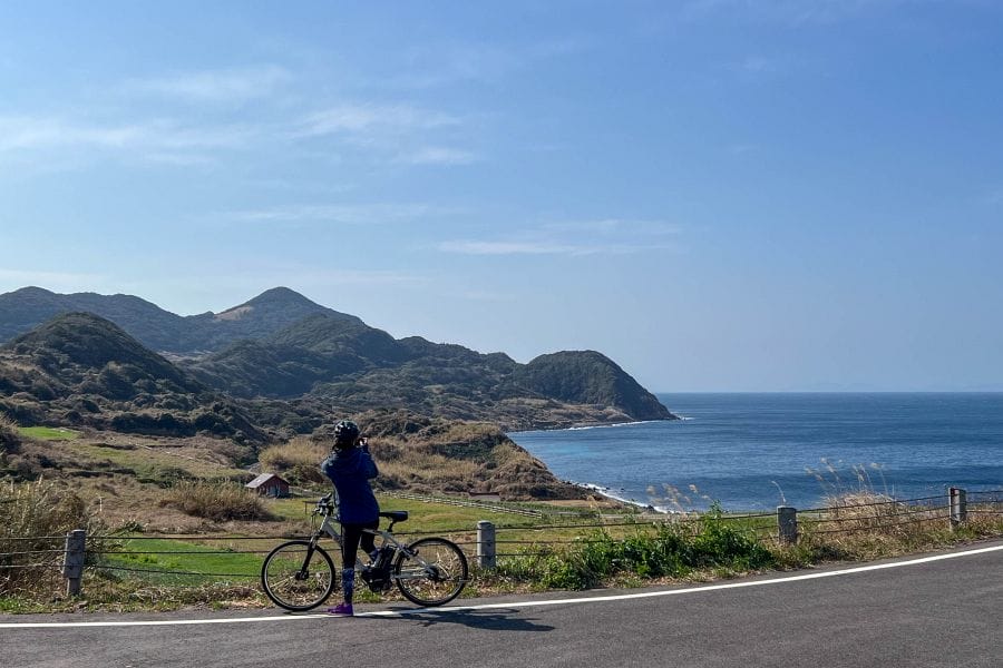
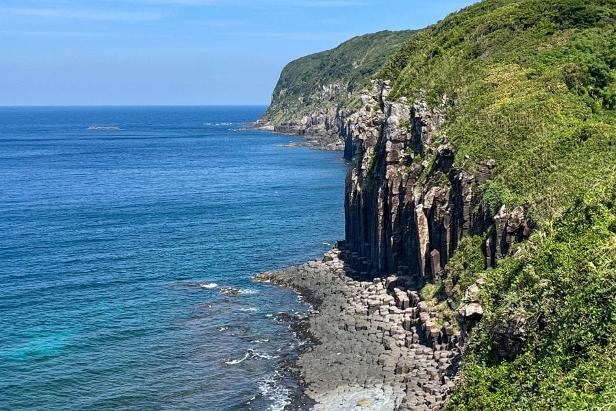
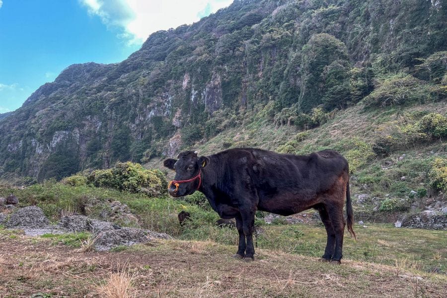
Once past the museum, you get onto the little-trafficked western coastal road, widely known as the Sunset Way. Originally constructed for local agricultural transport, this 10 km stretch is cut directly into the sheer volcanic slopes. In several sections, the road lacks utility poles and roadside guardrails on the ocean-facing side, offering an unobstructed view of the horizon. To your right, dark basalt cliffs rise almost vertically, displaying centuries of weathering where scrub grass and tough coastal pine trees have managed to take root in the crevices. To your left, the road drops away to rocky shores battered by the swell of the open sea, making the ride feel deeply connected to the maritime elements.
About halfway along this western route, the road passes the Shiodawara Cliffs, a geological formation that stretches for half a kilometre. Here, ancient basaltic lava flows cooled rapidly as they met the sea millions of years ago, contracting into dense, polygonal columns. These five- to seven-sided stone pillars rise up to twenty metres high, resembling a massive, natural pipe organ built into the coastline. At the base of the cliffs, the relentless wave action of the Genkai Sea has sheared the columns flat, creating a shoreline of honeycomb-patterned stepping stones where white foam pools in the rock basins. Standing nearby, you can hear the deep, echoing thud of the swell hitting the hollows in the stone.
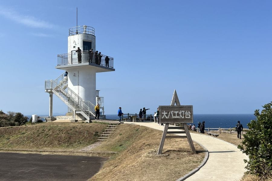
Continuing north, the road climbs toward the northernmost tip of the island, ending at the Ōbae Lighthouse. The structure stands on the edge of a 100 m high precipice. Unlike the majority of lighthouses in Japan, this white concrete tower features an external observation deck that wraps around the lantern room, accessed by steps. From this high platform, the view extends across the uninhabited islets of the Genkai Sea and, on clear days, as far as the distant Gotō Islands. The sheer height of the cliffs below reveals the physical isolation that defined life on the island for centuries. From here you can see Nakaeno Island where many Christians were executed and thrown into the sea. The two small rocky islands just offshore were used as a base for spotting whales.
During the eighteenth and nineteenth centuries, the island was the headquarters of the Masutomi whaling group, which grew to become the largest marine enterprise in Japan, employing up to 3,000 people at its peak. Rather than relying solely on open-sea harpooning, the islanders pioneered a highly organised system using large hemp nets to trap whales in the bays before capturing them.
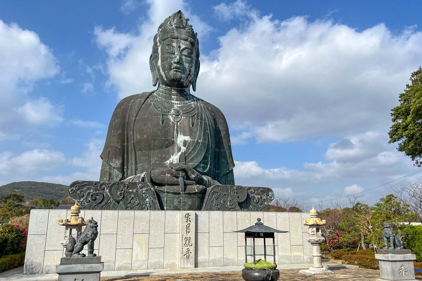
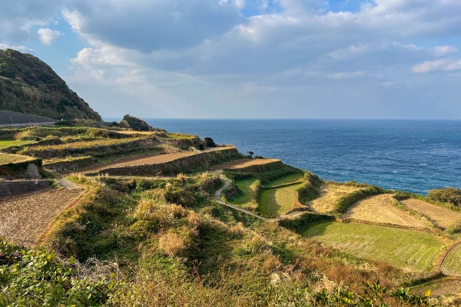
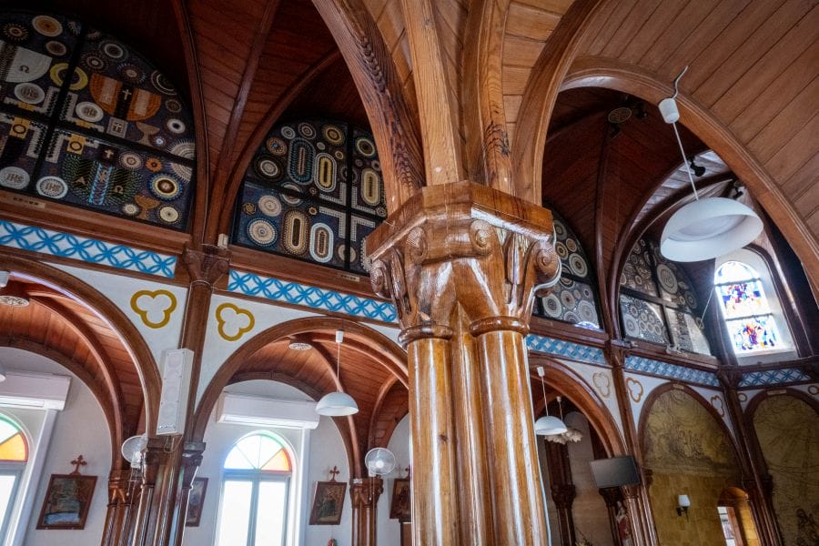
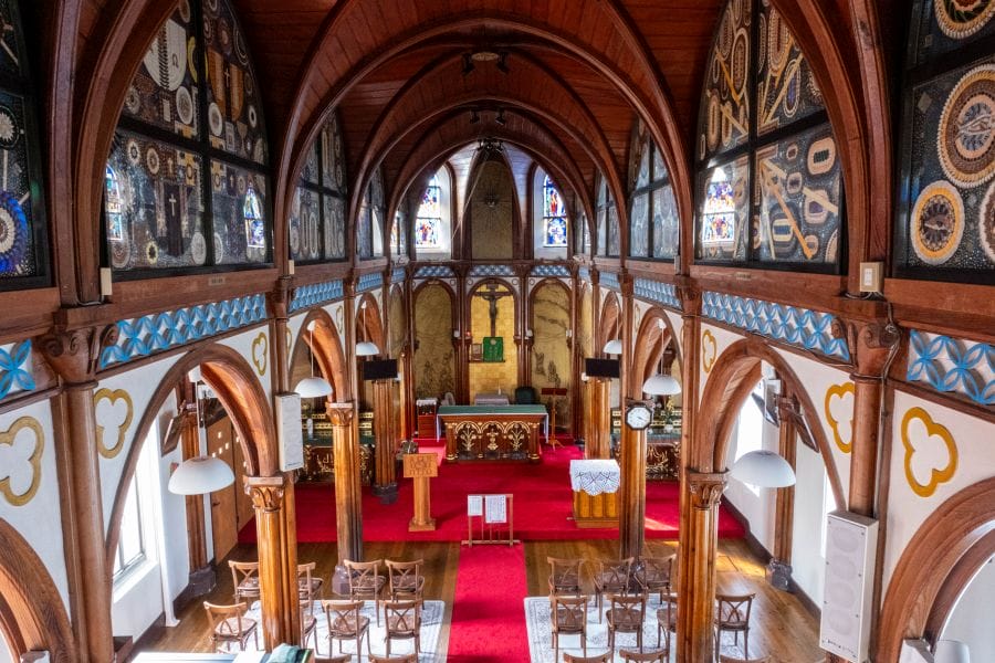
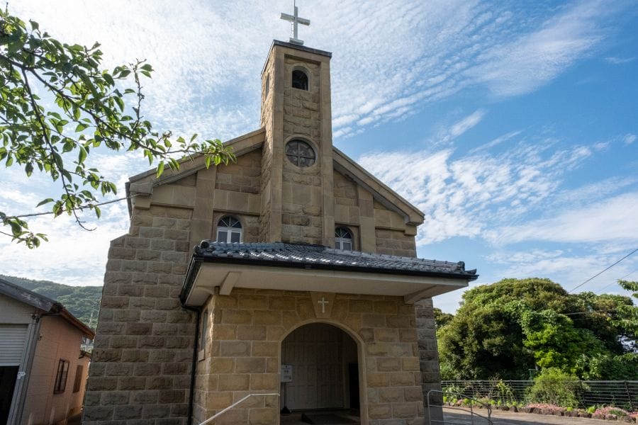
Turning south along the more sheltered eastern coast, the landscape changes to quiet fishing harbours and terraced farming plots. In the hamlet of Yamada, you’ll find Yamada Church, a red-brick Romanesque building completed in 1912 by the master builder Yōsuke Tetsukawa. The exterior features carefully pointed brickwork and arched windows, while the timber-vaulted ceiling inside is painted a soft blue. This area served as a refuge for Hidden Christians who survived centuries of official prohibition by disguised worship, using domestic wooden shrines to conceal their faith and chanting Latin-based prayers that were disguised as Buddhist chants. Just down the hill from Yamada is a large statue of the Buddhist god of mercy Kannon, who oversees the welfare of the fishermen.
The total distance around the island is about 30 km, and at a relaxed pace it takes three to four hours. Restaurants on the island are concentrated in the southwestern area, so if you’re thinking of a having a picnic at the lighthouse halfway through the ride, stock up at the convenience store in the harbour just after coming off the bridge.