Daisetsuzan National Park
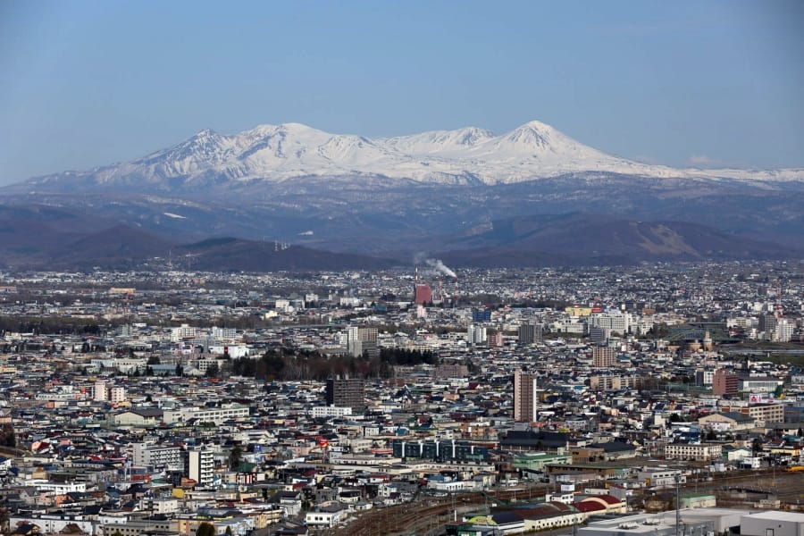
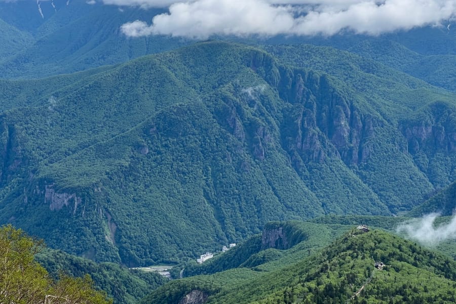
Daisetsuzan National Park is Japan’s largest national park, spanning over 2,200 square kilometres across the volcanic interior of central Hokkaidō. Known to the indigenous Ainu people as Kamui-mintara (“the playground of the gods”), this sprawling mountain expanse centres on massive alpine plateaux, steaming volcanic peaks, and vast subalpine forests.
Mountain trails and summit routes
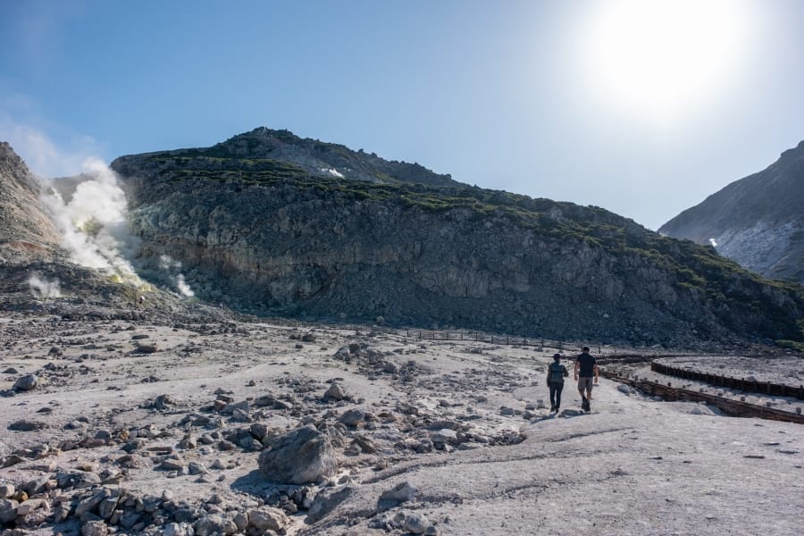
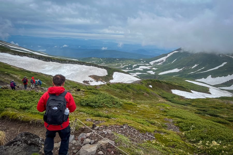
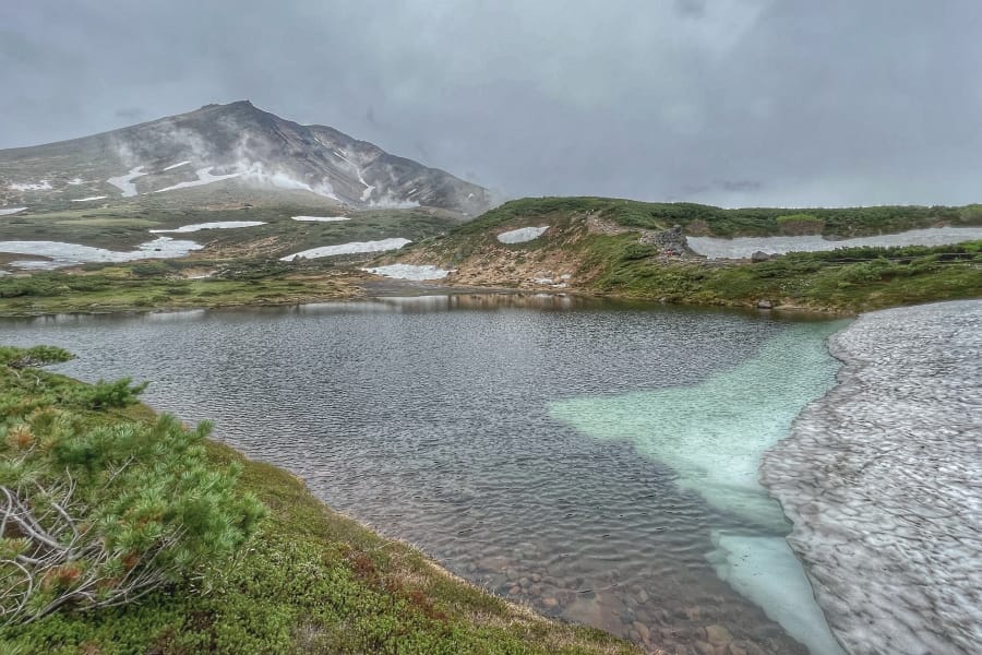
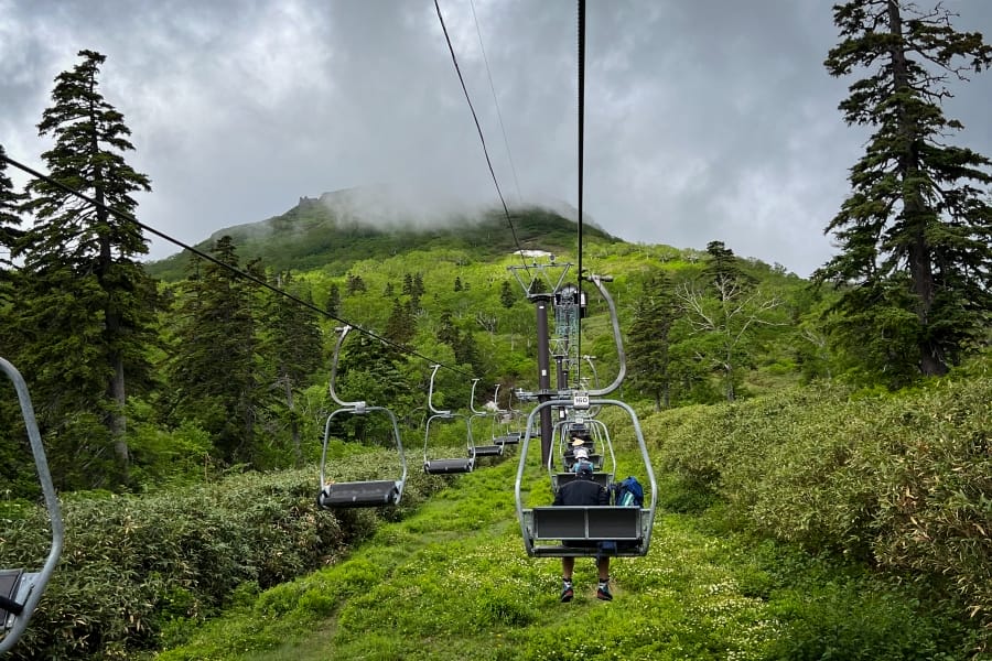
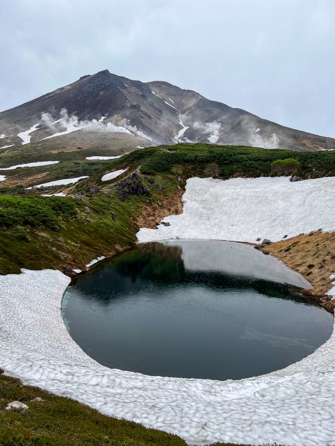
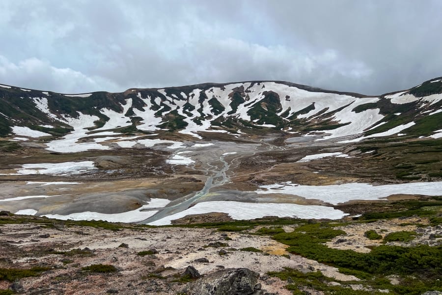
The park’s northern hub centres on Asahidake, Hokkaidō’s highest peak at 2,291 metres. A ropeway ascends from Asahidake Onsen to Sugatami Station at 1,600 metres, where a circular trail passes volcanic ponds and roaring steam vents. From Sugatami, a popular day-hike climbs the steep, gravelly western ridge to the summit, offering panoramic views across the inner crater rim. Further east, the sharp pyramid of Kurodake (1,984 metres) is accessible via ropeway and chairlift from Sōunkyō Gorge, serving as a gateway to the volcanic plateau. Hikers frequently connect these two hubs via the day-long Asahidake-to-Kurodake traverse, which crosses open alpine tundra, skirts the edge of the Ohachidaira caldera, and drops past the Kurodake Ishimuro stone shelter.
Multi-day wilderness traverses
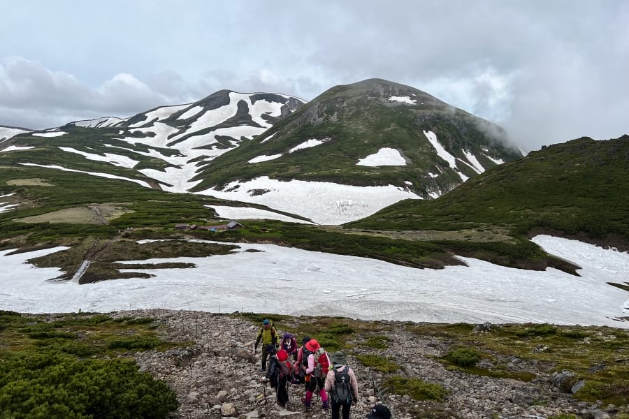
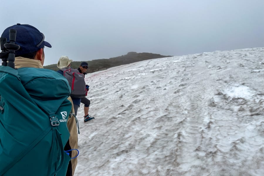
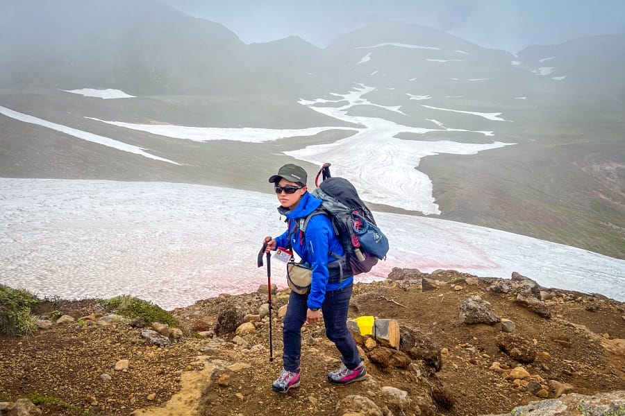
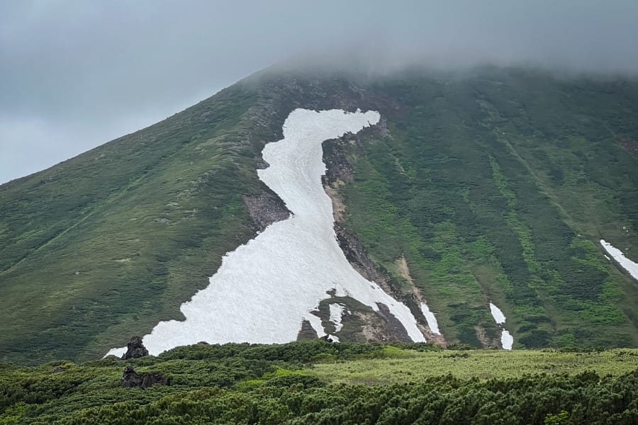
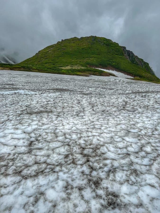
For experienced backcountry trekkers, the Daisetsuzan Grand Traverse spans the full length of the park from north to south, typically requiring five to eight days. The route navigates remote, exposed terrain between Asahidake or Kurodake in the north and the active volcanic peaks of the Tokachi Range in the south, including Mt. Tomuraushi and Mt. Tokachi. Camping is restricted to designated backcountry sites, and shelter options consist primarily of unstaffed mountain huts. The track involves boulder hopping, navigating snowfields that linger into late summer, and carrying full self-sufficiency gear. One of these long-lingering snowfields looks a bit like an Allosaurus.
Seasonal activities and winter access
Beyond summer trekking, Daisetsuzan is famous for early seasonal transitions. Due to its high latitude, autumn colour arrives here earlier than anywhere else in Japan, beginning on the high plateaux in late August and peaking in mid-September. In winter, heavy snowfall converts the Asahidake ropeway into a destination for powder skiing and backcountry ski touring, while lower valley areas like Asahidake Onsen and Sōunkyō Onsen provide snowshoeing trails alongside natural thermal baths. Wildlife viewing is possible throughout the warmer months, with chances to spot northern pikas (nakiusagi) and foxes among boulder fields, Ezo deer, and Ezo brown bears.
Hazards and dangerous areas on Mt. Asahi
Mt. Asahi is an active stratovolcano rising to 2,291 metres in Higashikawa, near Asahikawa, serving as the highest peak in Hokkaidō. While the aerial cable car allows easy access to the lower alpine slopes, the mountain contains several severe natural hazards that pose life-threatening risks to hikers, backcountry skiers, and climbers throughout the year.
Jigokudani volcanic crater and fumaroles
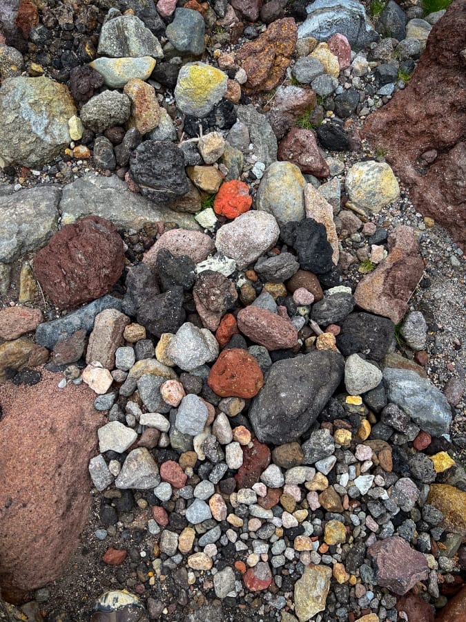
The most immediate geological hazard on Mt. Asahi is Jigokudani (“Hell Valley”), a massive, unstable volcanic ravine that carves into the western face of the peak. Numerous active fumaroles line the crater floor and lower slopes, roaring continuously while venting superheated steam and toxic sulphur gases. Hikers who stray from the designated Sugatami loop trail risk stepping onto thin volcanic crusts beneath which boiling mud pools or steam vents lie hidden. The gas concentrations inside the ravine can reach toxic levels during calm weather, leading to suffocation or loss of consciousness. Dense fog and sudden squalls often obscure the crater rim near the main summit trail, leading disoriented hikers to accidentally slip or drop down the precipitous, crumbly cliffs directly into Jigokudani.
Safe passage around the Kinko-iwa Rock
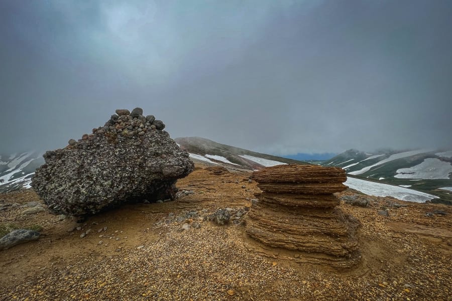
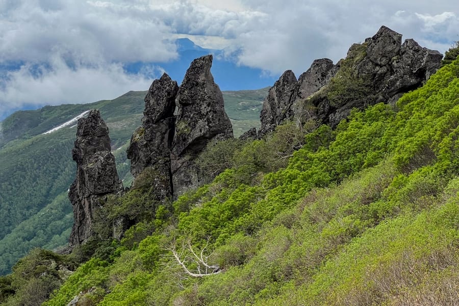
The summit trail climbs a steep, barren scree slope along the northern edge of Jigokudani. Near the top of the ridge, hikers encounter a prominent basalt rock formation known as Kinko-iwa (Safe Rock). This landmark historically served as a critical navigational marker, signalling the exact point where descending hikers must veer left away from the abyss of Jigokudani to stay on the correct spur. Misinterpreting the path at this junction leads directly down into the crater ravine, a mistake that has historically resulted in severe falls, hypothermia, and fatalities. A secondary, smaller rock formation named Nise-kinko-iwa (False Safe Rock) sits higher up the slope, occasionally causing dangerous navigation errors when low clouds reduce visibility.
Extreme weather and hypothermia
Due to Hokkaidō’s high subarctic latitude, weather conditions on Mt. Asahi mirror those found on 3,000-metre peaks in central Japan. High winds, torrential rain, and sudden temperature drops occur rapidly even during peak summer months. The broad, treeless alpine plateau provides no windbreaks or natural shelter above Sugatami Station, exposing stranded hikers to severe windchill and rapid hypothermia. Dense mountain fog (gasu) frequently descends across the peak without warning, reducing visibility to less than a metre and obliterating the faint trail markers on the rocky ground. In early autumn and late spring, blizzards can blanket the summit ridge in deep snow within a matter of hours, making route-finding nearly impossible without compasses or satellite tracking devices.
Winter avalanche and avalanche terrain
From November through May, deep snowpack completely buries the summer trails, turning the mountain into an unpatrolled backcountry winter environment. The steep slopes surrounding Jigokudani, the ridge gullies, and the open face below the summit are prone to slab avalanches triggered by heavy snowfall, wind loading, or temperature shifts. Beyond avalanche risks, winter wind creates massive, overhanging snow cornices along the crater rim and upper ridge lines. Stepping onto these undercut snow structures can cause them to shear off into the crater below. Deep corniced snowdrifts, icy slopes on the upper scree fields, and winter whiteouts make winter ascents suitable only for fully equipped alpine climbers carrying avalanche beacons, probes, shovels, and crampons.
Information
Name in Japanese: 大雪山国立公園
Pronunciation: dai-setsu-zan koku-ritsu koh-en
Address: Sōunkyō, Kamikawa, Kamikawa District, Hokkaidō 078-1701