Akan-Mashū National Park
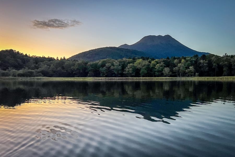
Akan-Mashū National Park is a 914-square-kilometre protected expanse of volcanic calderas, crater lakes, primeval forests, and active thermal zones. Located in eastern Hokkaidō, the park spans the municipalities of Teshikaga, Kushiro, Ashoro, and Shibecha. It encompasses three distinct caldera basins formed by ancient eruptions along the Kuril Volcanic Arc.
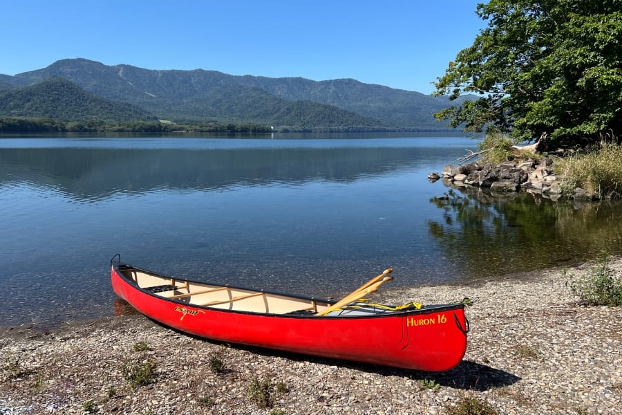
Akan-Mashū National Park in eastern Hokkaido, Japan, is divided into two separate sections — the western Akan Area featuring Lake Akan, Mt. Meakan, Mt. Ōakan, and Lake Onnetō, and the eastern Mashū around Lake Kussharo and Lake Mashū, extending to Mount Io and Kawayu Onsen. The two distinct areas are separated by non-park land and towns, requiring a one-hour drive between the Akan and Mashū zones.
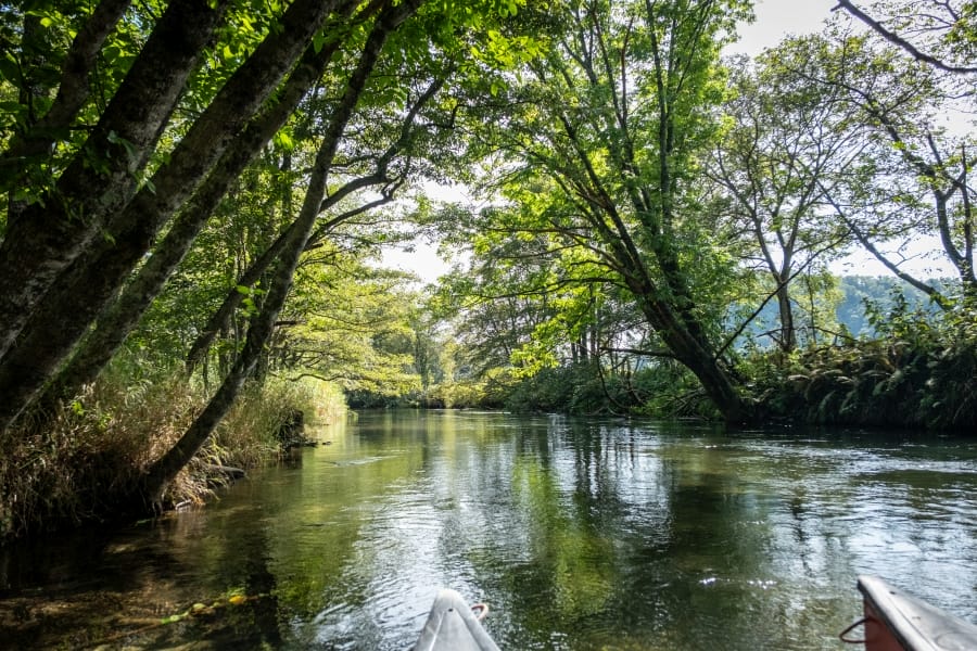
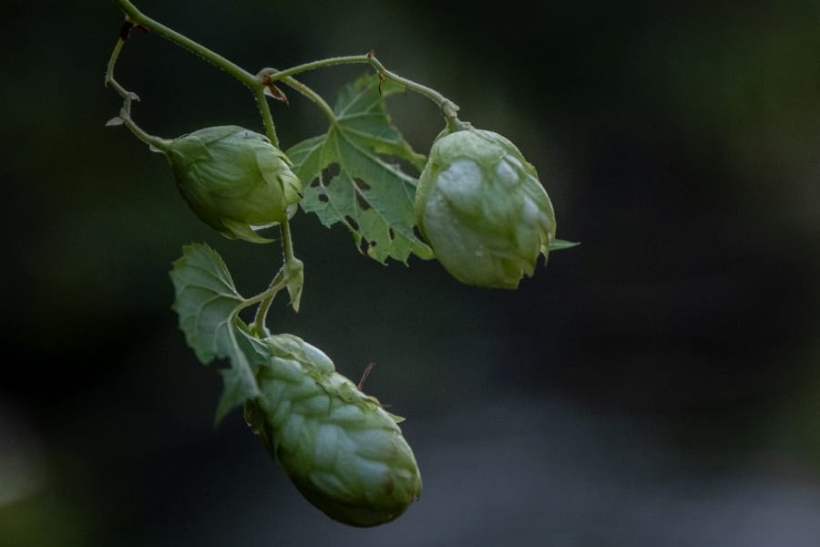
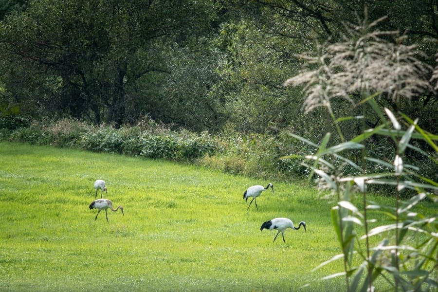
The fields and wetlands of this area are home to abundant and varied birdlife, including many types of raptor. Pairs and families of red-crowned cranes can often be seen feeding in fields beside the road and along rivers. Binoculars and a telescopic lens are good to have. Hops grow wild in hedgerows, and the woods are full of exotic fungi.
Lake Akan and Akanko Onsen
Lake Akan fills a volcanic caldera in Kushiro City on the western edge of the national park. The lake covers roughly 13 square kilometres and reaches depths of 44 metres. Spherical colonies of green algae grow along the shallow southern bay, forming dense round balls up to 30 centimetres in diameter through natural wave action. The balls, called marimo, are celebrated in local Ainu folklore. Apparently, the daughter of a tribal chief fell in love with a common hunter. Because her father forbade the relationship, the couple ran away together into the wilderness surrounding the lake. Tragically, they drowned in the water, and their spirits transformed into the marimo so they could live forever at the bottom of the lake. Somewhat counterintuitively, the green spheres are cherished as a symbol of eternal love, devotion, and good luck.
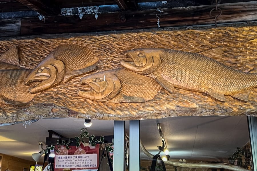
On the southern shore, the settlement of Akanko Onsen has hot spring bathhouses, inns, and Akanko Ainu Kotan. This Ainu village features a central pedestrian street lined with woodcarving shops and the Lake Akan Ainu Theatre “Ikor”, where traditional dance and puppet plays take place. Mountain peaks surround the lake, including Mt. Ōakan to the east and Mt. Meakan to the south-west.
Lake Mashū and the caldera rim
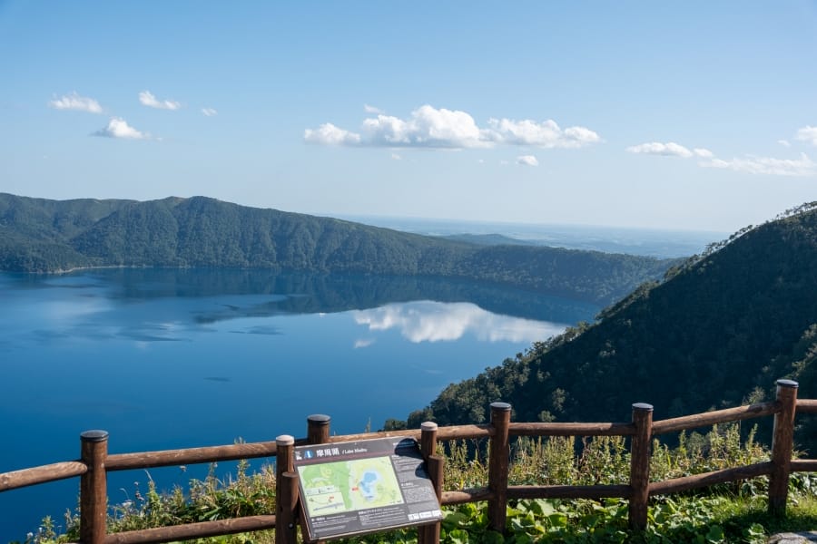
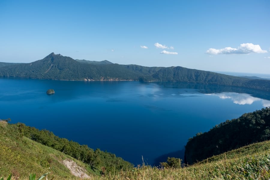
Lake Mashū occupies a steep-sided caldera in Teshikaga, roughly 20 kilometres east of Lake Kussharo. The lake surface lies 351 metres above sea level, enclosed by sheer crater walls rising up to 200 metres high. Without inflowing or outflowing rivers, the lake water maintains high clarity. Heavy fog regularly fills the caldera during summer months as moist ocean air cools over the water. Three observation decks along the western and southern ridges look down onto the surface and Kamuinupuri, an active stratovolcano on the eastern rim. Near the centre of the water, a lava dome forms the little Kamuishu Island. Ainu folklore describes the island as the petrified form of an elderly woman who collapsed while searching for her lost grandson. Ospreys live around the lake and perform their aerobatics against the blue backdrop of the lake.


Mt. Iō and the Atosanupuri thermal area
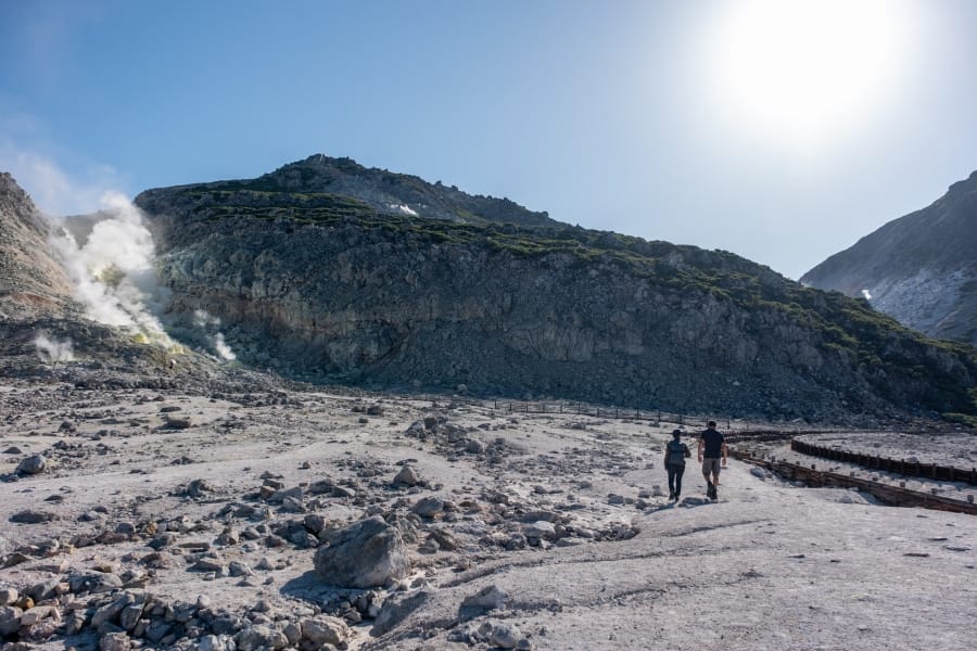
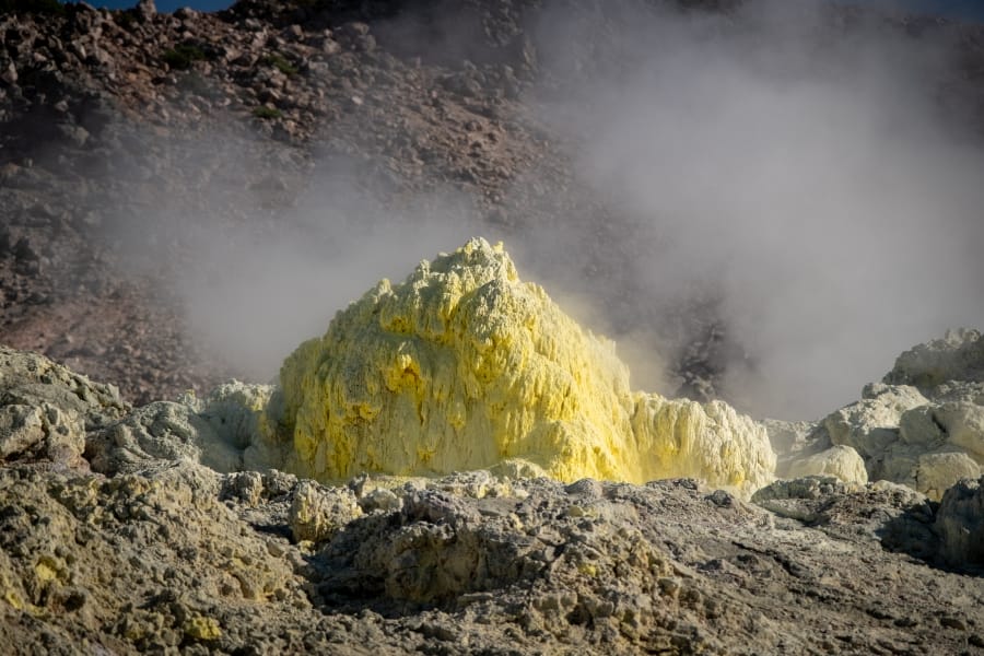
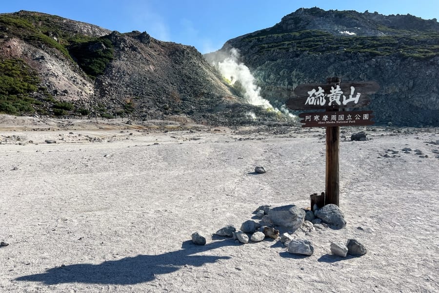
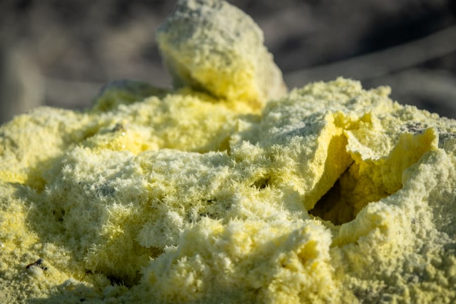
Mt. Iō, “sulphur mountain”, named Atosanupuri or “naked mountain” in the Ainu language, stands 508 metres high between Lake Kussharo and Lake Mashū in Teshikaga. Active fumaroles across the lower slopes vent steam and sulphurous fumes, depositing yellow sulphur crystals across the bare volcanic rock. The whole area stinks like an old-school chemistry lab, but the sulphur crystals are beautiful in their way. High soil acidity and a lack of organic topsoil prevent forest growth on the upper slopes, leaving exposed rock and gravel. During the late nineteenth century, commercial mining operations extracted raw sulphur from the mountain, transporting the mineral by a dedicated railway line to the Kushiro River for river barge export. At the base of the mountain, a low, scrubby forest of Siberian dwarf pine and marsh Labrador tea grows in the acidic soil, producing white blooms in early summer. A circular trail through this scrub, with occasional observation decks, offers pleasant walking.
Mt. Meakan and Lake Onnetō
Mt. Meakan rises 1,499 metres in Ashoro as the highest peak in the Akan volcanic group. The active stratovolcano contains a summit crater complex featuring active fumaroles, acid-filled ponds, and lava fields. Hiking routes ascend through subalpine forests of Sakhalin spruce and Ezo spruce before crossing volcanic scree to reach the crater rim. To the south-west, Lake Onnetō lies in a basin at an elevation of 623 metres, formed when lava flows from Mt. Meakan blocked the flow of a local stream. The mineral content of the water causes the lake surface to alter between shades of turquoise, blue, and emerald green depending on the light angle and wind. Manganese oxide deposits line the western shore, forming black ore beds through bacterial precipitation from thermal mineral springs.
Kawayu Onsen
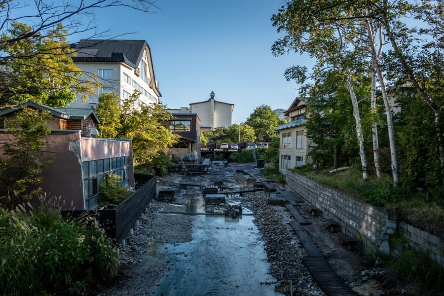
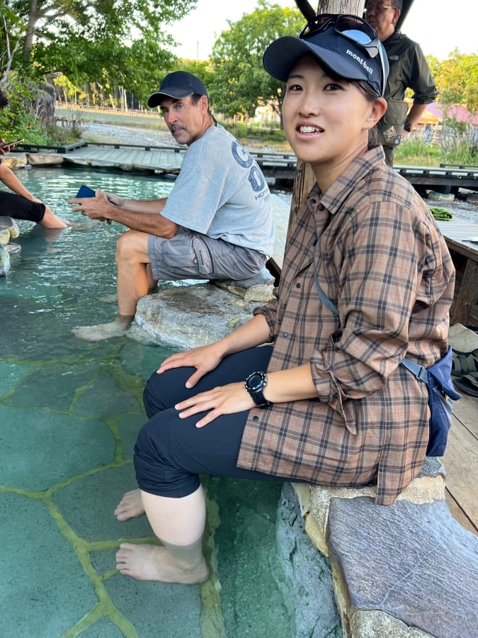
Kawayu Onsen is a hot spring village where geothermal water rises directly through the gravel bed of the Ōtō River. Because thermal springs emerge straight out of the stones, it’s standard practice to dig personal pools in the riverbed, mixing the hot upwellings with cold river water to balance the temperature. During winter, a section of the river is dammed to create Sennin-buro, a broad communal hot spring bath formed directly inside the natural riverbed. Year-round, you can rest your feet in the public footbath overlooking the river and chat with the locals. The village comprises houses typical of Hokkaidō’s eclectic frontier architecture. Woodcarving shops offer beautiful products at reasonable prices.
Information
Name in Japanese: 阿寒摩周国立公園
Pronunciation: a-kan-ma-shu kokuritsu koh-en
Address: Akanko Onsen 1-1-1, Akan-chō, Kushiro, Hokkaidō 085-0467